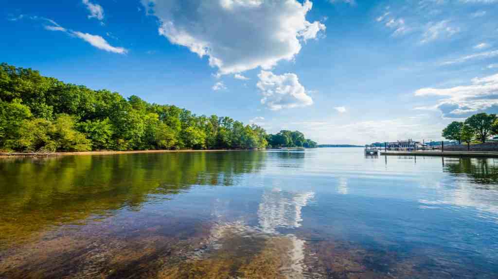
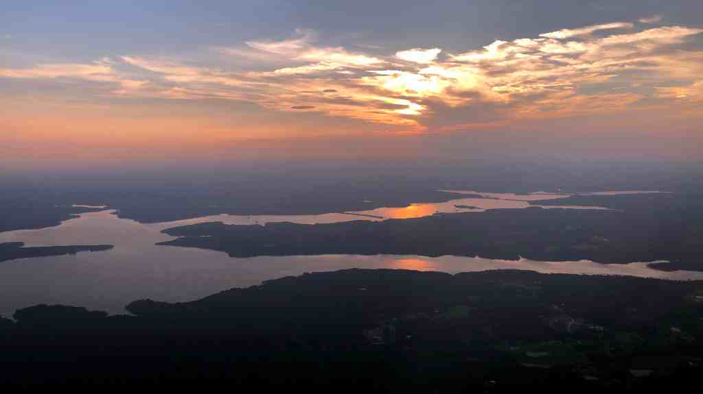
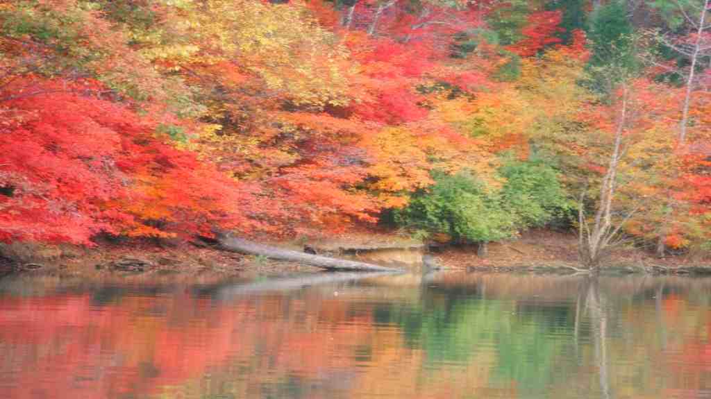
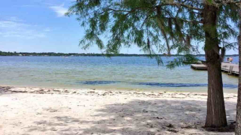
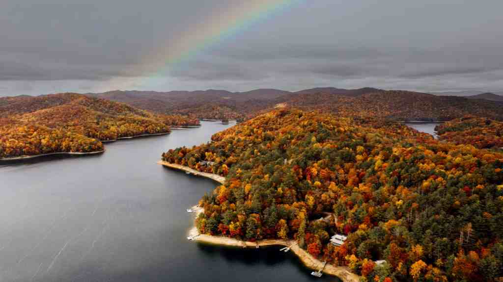
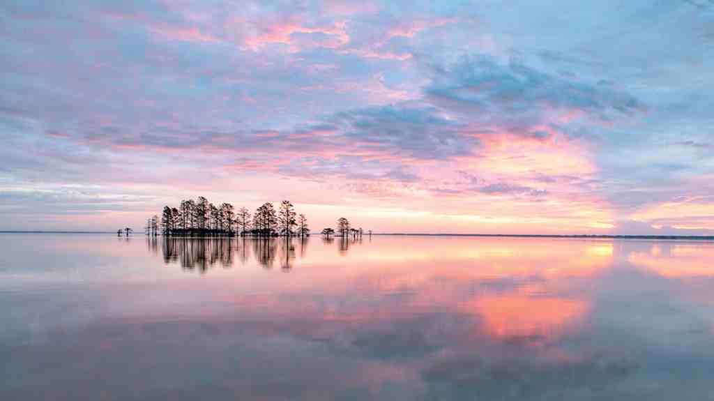
Lakes in North Carolina – North Carolina is full of amazing lakes waiting for you to explore! Whether you’re captivated by the majestic Appalachian Mountains in the west or drawn to the beautiful Atlantic Ocean in the east, there’s a lake destination for every taste. Indulge in favorite pastimes like fishing and waterskiing, so don’t forget to bring your fishing rod and summer skis for an unforgettable experience! If you are looking for the best lakes to visit, consider visiting the Best Lakes in North Carolina.
List of Best Lakes in North Carolina
| 1.Bass Lake | 11. Lake Wylie |
| 2. Fontana Lake | 12. White Lake |
| 3. Lake Norman | 13. Nantahala Lake |
| 4. Falls Lake | 14. Lake Waccamaw |
| 5. Lake James | 15. Lake Mattamuskeet |
| 6. High Rock Lake | 16. Belews Lake |
| 7. Jordan Lake | 17. Lake Lure |
| 8. Lake Glenville | 18. Hyco Lake |
| 9. Badin Lake | 19. Randleman Lake |
| 10. Lake Toxaway | 20. Lake Junaluska |
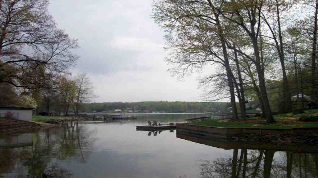
1. Bass Lake

Location:- Blowing Rock, Watauga County, North Carolina, U.S.
| Surface area | 22 acres (8.9 ha) |
| Max. depth | 30 feet (9.1 m) |
| Water volume | 380 acre-feet (470,000 m3) |
| Surface elevation | 3,563 feet (1,086 m) |
Bass Lake, sometimes referred to as Cone Lake, is an attractive 22-acre artificial lake located in Blowing Rock, Watauga County, North Carolina, United States. Situated at an elevation of 3,563 feet (1,086 m), this serene reservoir is surrounded by the picturesque landscape of the Moses H. Cone Estate, also known as Flat Top Manor. As part of the stunning Moses H. Cone Memorial Park, the lake is a quiet gem that shares property with another beautiful water body, Trout Lake. The property and its lakes are cherished and hold a special place on the National Register of Historic Places.
Bass Lake History
Cone had a clear vision of creating a spectacular lake environment. He directed the construction of a 500-foot-long dam with a double-channel stone-lined spillway to manage excess water. The dam included a sluice gate for controlled water withdrawal, and created an attractive island within the lake. On the northern side, he planted beautiful water lilies, especially the Nymphaea odorata variety.
In 1908, Cone’s estate was known as Flat Top Manor. His legacy was marked by an impressive orchard containing 32,000 apple trees and two large lakes. The effort invested in the construction of roads, buildings and these lakes amounted to $500,000. By 1914, reports were that thousands of apple trees yielded an estimated 50,000 bushels of produce, while the slopes were adorned with hundreds of trees. Cone Lake also earned a location in the USGS Morganton Quadrangle in Watauga County in 1936.
In the years that followed, the lake faced challenges. In 1942, it underwent drainage and repair work. By 1953, it was still Cone Lake, which covered 30 acres and caught the eye of the Charlotte Observer. By 1956, the lake was stocked with rainbow and brook trout, adding to its allure.
In 1986, the ice drift took its toll on the dam, triggering another round of water withdrawals. In 1990, a significant renovation began, modernizing the sluice gates while preserving the historic integrity of the spillway and dam banks, which were decorated with neatly trimmed grass. Eventually the lake was filled with fish again.
Fast forward to 2021, the National Park Service begins a restoration journey within the striking Moses H. Cone Memorial Park. Rejuvenation efforts spread the grounds and even added convenient toilets near the lake, improving the visitor experience.
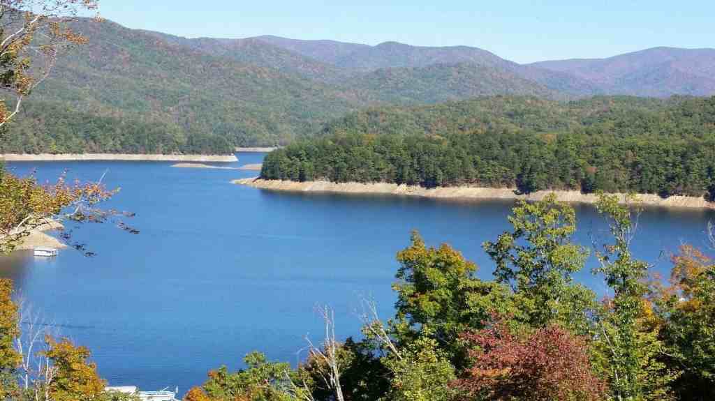
2. Fontana Lake
Location:- Graham / Swain counties, North Carolina, U.S.A (near Bryson City NC)
| Max. length | 17 miles (27 km) |
| Average depth | 135 feet (41 m) |
| Max. depth | 440 feet (130 m) |
| Surface elevation | 1,703 feet (519 m) |
Fontana Lake, a peaceful reservoir tucked behind the Fontana Dam on the Little Tennessee River, adds its serene beauty to the scenic landscapes of Graham and Swain Counties in North Carolina. This picturesque lake forms an idyllic part of the southern boundary of the famous Great Smoky Mountains National Park, as well as marking the northern edge of a portion of the Nantahala National Forest. Spanning approximately 17 miles in length, its eastern end meets the Tuckasegee River near the charming town of Bryson.
Delving below the surface, Lake Fontana reveals its secrets, with an average depth of 135 feet and a maximum depth drop of 440 feet, earning the title of North Carolina’s deepest lake. Islands, remnants of ancient mountain peaks, sprinkle its calm waters, especially near the eastern shore. In moments of low water level, steep ledges emerge, presenting a unique landscape.
There is a special key near Fontana Lake, which provides access to the most secluded corners of the national park, which otherwise may require several days of strenuous hiking. When summer breezes fill the air and the lake glistens at its typical level, adventurous souls can venture out in boats to reach remote trailheads like charming Hazel Creek. Look up from the heights of the Clingmans Dome observation tower, and on a clear day, you can catch a glimpse of the glistening lake about a mile below.
The lake dances between different heights in the rhythm of nature. Its controlled summit is situated at an altitude of 1,710 feet, yet the pleasant summer surface at an altitude of 1,703 feet delights. As you travel along NC 28, you’ll find the southern shoreline, while US 19 sports an entrance on the southeast shore of the lake, bridging Bryson City and Weser/Lauda. Lake Fontana, where nature’s charm and adventure are intertwined, awaits your exploration!
Fontana Lake History
Fontana got its name from a logging town called the Montvale Lumber Company, which used to be along Eagle Creek on the north shore of the lake. The name comes from the Italian word for “fountain”.
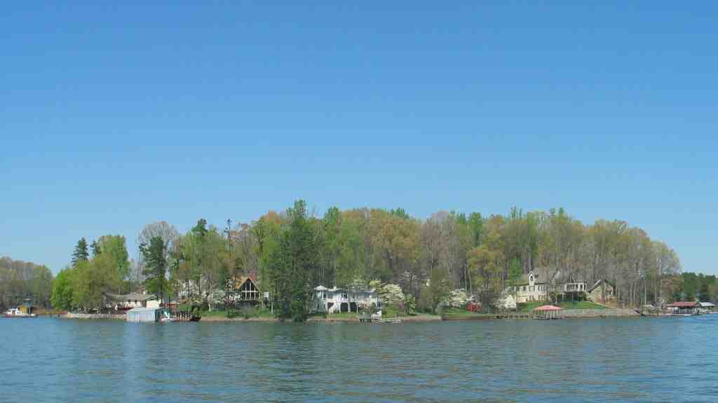
3. Lake Norman
Located:- Catawba / Iredell / Lincoln / Mecklenburg counties, North Carolina, U.S.A
| Max. length | 33.6 miles (54.1 km) |
| Max. width | 9 miles (14 km) |
| Surface area | 32,510 acres 50.80 sq mi (132 km2) |
| Average depth | 33.5 feet (10.2 m) |
| Max. depth | 112 feet (34 m) |
| Water volume | 1,093,600 acre-feet (1,348,900,000 m³) |
| Residence time | 207 days |
| Shore length1 | 520 miles (840 km) |
| Surface elevation | 760 feet (230 m) |
Lake Norman holds the title of being the largest man-made freshwater lake in North Carolina. It was formed from 1959 to 1964 during the construction of the Cowans Ford Dam by Duke Energy. Located in Iredale County, a short 40-mile trip north of Charlotte, Lake Norman State Park stands as the proud host of a local favorite mountain biking trail system.
Lake Norman Geography
Lake Norman receives its waters from the Catawba River and discharges them southward into Mountain Island Lake. The lake’s name pays tribute to Norman Atwater Cocke, former president of Duke Power. Often referred to as North Carolina’s “inland sea”, Lake Norman boasts an impressive 520 miles (840 km) of shoreline and covers more than 50 square miles (130 km) in surface area. Its full capacity is 760 feet (230 m) above sea level. In particular, Interstate 77 and North Carolina Highway 150 pass through various parts of the Lake Norman expanse.
4. Falls Lake
Location:- Durham, Wake, and Granville counties in North Carolina, U.S
| Area | 50.22 km² |
| Surface area | 12,410 acres (5,000 ha) |
| Shore length in miles | 175 miles |
| Shore length in KM | 280 km |
| Surface elevation | 251.5 feet (76.7 m) |
Say hello to Falls Lake, a sprawling 12,410-acre (that’s about 50 square kilometers!) reservoir that stretches its arms across Durham, Wake, and Granville counties in North Carolina, USA. This aqua wonderland runs a delightful 28 miles (approximately 45 kilometers) up the Neuse River, all the way back to its happy source where the Eno, Little, and Flat rivers gather for a joyful reunion.
The name “Falls Lake” comes from the lively Falls of the Neuse, a stretch of the river that used to dance with whitewater before gracefully descending from the Piedmont to the Coastal Plain. This lively dance, however, was tamed by the lake’s creation.
Not just a pretty face, Falls Lake plays a significant role in the community. It quenches the thirst of neighboring towns, including the bustling city of Raleigh, and stands tall as a stalwart guardian against floods. And if that’s not enough, this lake dons another hat – a playground for recreation and a haven for wildlife to flourish.
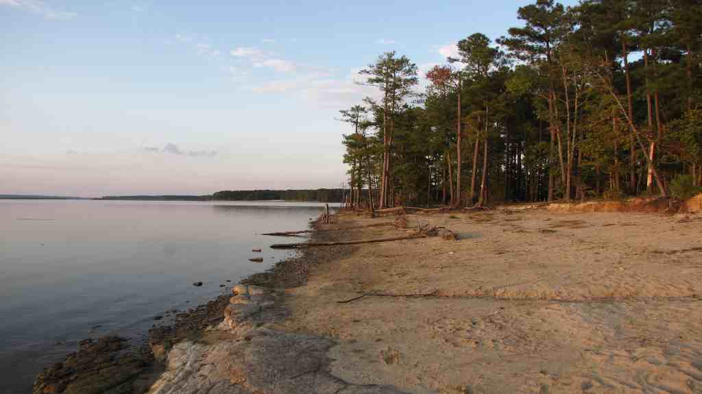
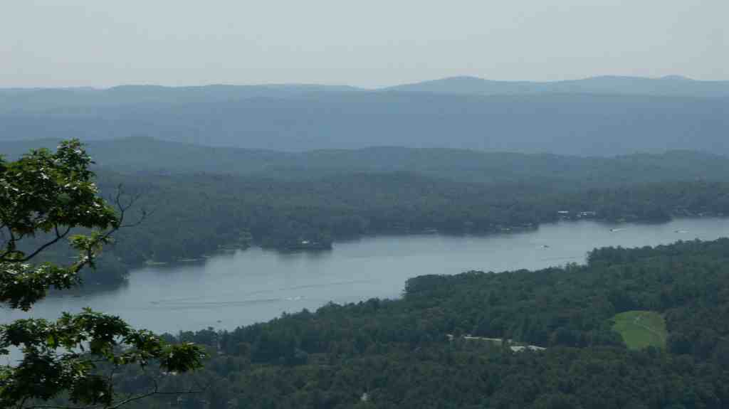
5. Lake James

Location:- Burke / McDowell counties, North Carolina, United States
| Catchment area | 387 square miles (1,000 km2) |
| Managing agency | Duke Energy |
| Built | August 1916 |
| First flooded | May 1919 |
| Surface area | 6,812 acres (2,757 ha) |
| Surface elevation | 1,200 feet (370 m) |
Nestled in the scenic mountains of western North Carolina, Lake James is a massive reservoir that straddles the border of Burke and McDowell counties. This serene water body pays tribute to James Buchanan Duke, a prominent tobacco baron and philanthropist at Duke University. The lake, situated at an altitude of 1200 feet (366 m), is surrounded by four earthen dams. It originated from a visionary hydroelectric effort by Duke Power from 1916 to 1923. To this day, Lake James remains an important source of power generation, standing as the highest reservoir within the Catawba River system.
Lake James History
The origins of Lake James date back to the early 1900s when James B. Duke, whose goal was to bring electric power to the Piedmont of North Carolina through a network of dams and reservoirs along the Catawba River. Located at the meeting point of the Catawba River, which originates in the mountainous area of Linville Falls (North Fork), and the Linville River, which rises from the slopes of Grandfather Mountain and forms the stunning Linville Gorge after falling over Linville Falls to the north of the lake Is. The reservoir is also fed by small streams, including the attractive Paddy’s Creek, which lends its name to a campground, boat launch, and a sandy beach swimming area within Lake James State Park.
Transformational work on the earthworks shaping the reservoir began in 1916, which was completed in 1923. As the lake expanded, it took over a portion of the quaint farming community of Fonta Flora, nestled between a lush river valley and rolling rolling hills. The fusion of these elements has given rise to the picturesque expanse known today as Lake James.
6. High Rock Lake
Location:- Davidson / Rowan counties, North Carolina, U.S.A
| Surface area in acres | 15,180 acres |
| Surface area in Km | 61.4 km2 |
| Surface elevation in Feet | 655 feet at full pool |
| Surface elevation in Meter | 200m at full pool |
| Fish | Flathead catfish, Channel catfish, Redear sunfish, Blue catfish |
Welcome to the charm of High Rock Lake, a delightful reservoir nestled along the Yadkin River in the heart of North Carolina. You’ll find this beauty gracing the counties of Davidson and Rowan, like a sparkling gem in the sunlight. This aquatic wonder came to life in the years 1926-27, thanks to the skilled hands of the Tallassee Power Company, a proud member of the Aluminum Company of America (Alcoa) family.
High Rock Lake is the eldest sibling among a quartet of hydroelectric projects that were crafted to support Alcoa’s impressive Badin Works – a bustling hub of aluminum smelting located downstream in the vibrant community of Badin. Times changed, and in 2007, the curtain came down on the Badin Works’ grand show. But fear not, the legacy lived on. Alcoa continued to guide the rhythm of the Yadkin River through its hydroelectric dance until they passed the baton to Cube Hydro Carolinas in 2016. Such is the story of this enchanting water haven.
7. Jordan Lake
Location:- Chatham / Durham counties, North Carolina, U.S.A
| Maximum Lenght in Miles | 16 miles |
| Maximum Lenght in KM | 26 km |
| Maximum Width in Miles | 5 miles |
| Maximum Width in KM | 8.0 km |
| Maximum Depth in Feet | 140 feet |
| Maximum Depth in Meter | 43 m |
| Average Depth in Feet | 14 feet |
| Average Depth in Meter | 43 m |
| Surface area in acres | 13,940 acres |
| Surface area in Km | 56.4 km2 |
| Surface elevation in Feet | 216 ft |
| Surface elevation in Meter | 66 m |
| Volume of Water | 215,100 acre-feet |
Meet B. Everett Jordan Lake, a delightful reservoir nestled in the charming embrace of New Hope Valley, just west of Cary and a hop, skip, and jump south of Durham in lovely Chatham County, North Carolina. You might catch its playful waves reaching into southwestern Durham County too.
This gem is part of the wonderful Jordan Lake State Recreation Area, spreading its beauty across 13,940 acres with a cozy 180-mile shoreline, all at a friendly water level of 216 feet above sea level. It all began as a clever response to a mischievous tropical storm that caused quite a fuss downstream in September 1945. The solution? A flood control project that led to this picturesque lake. Crafted with care and at a cost of US$146,300,000, it’s under the caring watch of the United States Army Corps of Engineers. These talented folks brought the vision to life, damming and inviting the Haw River and New Hope River to dance together between 1973 and 1983.
8. Lake Glenville

Location:- Jackson County, North Carolina, U.S.A
| Surface area in acres | 1,470 acres |
| Surface area in KM | 5.9 km2 |
| Max. depth in Feet | more than 130 ft |
| Max. depth in Meter | more than 40 m |
| Surface elevation in Feet | 3,494 ft |
| Surface elevation in Meter | 1,065 m |
| Shore length | 26 mi (42 km) |
| Fish | Largemouth bass, Bluegill, Rainbow trout, Smallmouth bass, Walleye |
Let’s dive into the beauty of Lake Glenville, a sparkling reservoir that’s just a delightful eight-mile journey away from Cashiers, North Carolina, leading you right to its inviting dam and a sunny public beach. If you trace its origins back to the headwaters at Hurricane Creek, you’ll find they’re a mere two miles away, creating a perfect oasis.
Picture this: Lake Glenville was born in 1941, a result of the clever damming of the west fork of the Tuckasegee River. Now, here’s a fun fact for you: between the years 1951 and 2002, it even went by the name “Thorpe Reservoir,” a nod to the memory of J. E. S. Thorpe, the very first president of Nantahala Power. So, whether you’re seeking adventure or relaxation, Lake Glenville is here with open waters and sunny shores!
Lake Glenville History
Step back in time to World War II, when ALCOA (the Aluminum Company of America) stepped up to power the war effort. Picture this: in the sunny days of June 1940, Nantahala Power and Light, which was under ALCOA’s wing, embarked on a mission. Their goal? Constructing a dam that would churn out hydroelectric power like magic. This dazzling dam was destined for the west fork of the Tuckasegee River, right at the majestic Onion Falls.
With dedication and hard work, they wove their hydroelectric magic, and by the end of 1941, they had crafted a true marvel – a brand-new lake that we now lovingly know as Lake Glenville, or back then, Thorpe Reservoir. This watery wonderland gracefully spread its embrace over the land, nestling into the valley just north of Cashiers. As the waters rose, the town of Hamburg stood strong in the face of change, making way for progress. Schools, homes, businesses, and farmlands found a new home beneath the lake’s shimmering surface, becoming part of the tale of Thorpe Reservoir’s transformation.
9. Badin Lake
Location:- Uwharrie Lakes Region, North Carolina
| Surface area in acres | 5,350 acres |
| Surface area in KM | 21.7 km2 |
| Max. depth | 190 ft (58 m) (locals say over 300 ft (91 m)) |
| Surface elevation in Feet | 539 feet |
| Surface elevation in Meter | 164 m |
| Shore length | 115 mi (185 km) |
Located in the heart of the Uwarri Lakes region, Badin Lake is part of an attractive lake family fed by the Yadkin-Pee Dee River. The year 1917 saw the birth of the Badin Lake Dam, a sturdy support for the local Alcoa aluminum smelting plant and its community, aptly named after the visionary Adrien Badin. In 2017, Cube Hydro Carolinas took over the power unit, infusing new energy.
This gem graces North Carolina’s Piedmont, embraced by Narrows Dam in the welcoming town of Badin. Just downstream, you’ll find the inviting Morrow Mountain State Park, and the lake shares its beauty across Stanly, Davidson, Montgomery, and Rowan counties. Nature enthusiasts will delight in the Uwharrie National Forest hugging much of its eastern shore.
10. Lake Toxaway
Location:- Western Transylvania County, North Carolina on U.S.
| ZIP code | 28747 |
| Elevation in Feet | 2,979 ft |
| Elevation in Meter | 908 m |
Tucked away in the western embrace of Transylvania County, North Carolina, you’ll find the charming gem known as Lake Toxaway. It’s like a cozy hug from the countryside, right there along the friendly paths of U.S. Route 64 and North Carolina Highway 281.
11. Lake Wylie
Location:- York County, South Carolina / Gaston / Mecklenburg counties, North Carolina, US
| Shore length | 325 mi (523 km) |
| Max. depth | 25 m (82 ft) |
| Surface area | 20.9 mi2 (54.2 km2) |
Say hello to Lake Wylie, a fantastic reservoir that stretches its arms across the states of South Carolina and North Carolina. Imagine a watery playground covering about 13,400 acres (54.2 km2) – that’s like a giant natural swimming pool! And guess what? Along its shores, there’s a whopping 325 miles (523 km) of space where you can kick back, relax, and enjoy the views. It’s like Mother Nature’s own canvas of fun and relaxation!
Lake Wylie History
Back in 1904, something magical happened near India Hook, South Carolina. The clever folks at the Catawba Power Company worked their engineering wizardry and created the Catawba Dam and Power Plant. This fantastic feat brought the Catawba River to a standstill and voila! Lake Catawba was born, all set to dazzle with its hydro-electric power prowess.
Fast forward to 1924, when the Southern Power Company decided to take things up a notch. They elevated the dam’s level and conjured up the shiny new Catawba Hydroelectric Station, waving goodbye to the original. By August 1925, Lake Catawba’s surface area went from a humble 668 acres (2.70 km2) to an impressive 13,400 acres (54.2 km2). And guess what? The Southern Power Company found a partner in adventure – the Duke Power Company – in 1927. Together, they continued to make the world brighter with their power-packed union.
12. White Lake
Location:- Bladen County and the state of North Carolina.
| ZIP code | 28337 |
| Area codes | 910, 472 |
| Total Area | 2.66 sq mi (6.89 km2) |
| Land Area | 1.02 sq mi (2.65 km2) |
| Water Area | 1.64 sq mi (4.23 km2) |
| Elevation | 66 ft (20 m) |
Let’s set our sights on White Lake, a charming town in Bladen County, North Carolina, USA. When the 2010 census came around, it counted 802 friendly faces here, a warm increase from the 529 in 2000.
White Lake Geography
As per the folks at the United States Census Bureau, this town boasts a space of about 2.6 square miles (6.8 km2). Within this area, 0.97 square miles (2.5 km2) is solid ground where the town’s heart beats, while a good chunk, 1.6 square miles (4.2 km2) or around 62.51%, is a watery haven – the beautiful freshwater lake that gives this town its name. It’s like nature decided to sprinkle a little extra sparkle on this charming spot!
13. Nantahala Lake
Location:- Macon County, North Carolina
| Area | 7 km² |
| Surface elevation in Feet | 3,035 ft |
| Surface elevation in Meter | 925 m |
| Shore length | 42 mi (68 km) |
| Fish | Rainbow trout, Largemouth bass, Sockeye salmon, Smallmouth bass |
Discover Nantahala Lake, a hidden gem in Macon County, North Carolina, nestled in the tranquil embrace of the western part of the state. Duke Energy lovingly tends to this lake, a hydroelectric wonder that powers the region. At an elevation of 3,000 feet (910 m) within the Nantahala National Forest, it’s a slice of paradise.
Born in 1942 during wartime, Nantahala Lake was crafted by Nantahala Power, a beacon of energy during challenging times. With 42 miles (68 km) of shoreline, the lake is an aquatic playground. Dive into fun with swimming, boating, skiing, and more. Fishing enthusiasts will be delighted by largemouth and smallmouth bass, trout, salmon, catfish, and a colorful array of panfish. It’s not just a lake; it’s a joy-filled haven waiting for your adventure.
14. Lake Waccamaw

Location:- Columbus County, North Carolina, U.S.A
| Total Area | 2.78 sq mi (7.20 km2) |
| Land Area | 2.78 sq mi (7.20 km2) |
| Water Area | 0.00 sq mi (0.00 km2) |
| Elevation | 56 ft (17 m) |
| ZIP code | 28450 |
| Area codes | 910, 472 |
Located in Columbus County, North Carolina, is the charming town of Lake Waccamaw, a friendly community that welcomed approximately 1,480 residents as of the 2010 census. This scenic spot has a rich history, initially adopted by Native Americans before European settlers arrived in the 18th century.
As the Europeans set foot here, they began to shape Lake Waccamaw’s landscape. Naval stores and the discovery of valuable turpentine oil prompted the creation of the Wilmington-Manchester railroad track, marking the region’s development. Even a shingle company transformed into a bustling lumber enterprise. In 1910, a spirited group of townspeople came together to establish the heartwarming Waccamaw Club.
The heart of the town revolves around its namesake, Lake Waccamaw, a sprawling water wonderland that spans 9,000 acres and serves as a vital pillar of the town’s economy. The lake is a vibrant haven for a myriad of wildlife, from unique fish species to enchanting birds, and even fascinating mollusks. So, whether you’re strolling by the serene shoreline or exploring the diverse creatures within the lake’s depths, Lake Waccamaw offers an inviting haven for both residents and visitors alike.
Lake Waccamaw History
Long before the Europeans arrived, the town of Lake Waccamaw was a cherished home for Native Americans. As time marched on, the era of exploration brought Europeans seeking new horizons. Charles the Second of England bestowed grants upon eager proprietors, igniting journeys to the new world in pursuit of treasures and tales.
By the mid-eighteenth century, Lake Waccamaw saw its fair share of settlers, including the likes of John Powell, who hailed from Virginia, bringing with him cattle and a spirit of adventure. John’s son, the spirited Absalom Powell, carried on the family legacy, venturing into land acquisitions around the enchanting Lake Waccamaw.
The Powell family’s influence extended further, with Isaac Powell, another of John’s sons, stepping into roles of significance. Isaac made history as the inaugural major of the Brandon County Durham militia in 1804, and his reputation grew as he took on the mantle of a justice of peace in 1806.
Isaac’s impact didn’t stop there—his connection with Lake Waccamaw deepened as he became a substantial landowner, shaping the landscape and contributing to the growth of this cherished town. So, whether it’s the echoes of Native American roots or the vibrant stories of European settlers like the Powell family, Lake Waccamaw’s history is as diverse and captivating as its serene shores.
15. Lake Mattamuskeet
Location:- Hyde County, North Carolina, U.S.A
| Average depth | 2–3 ft (0.61–0.91 m) |
| Maximum width | 7 mi (11 km) |
| Maximum length | 18 mi (29 km) |
Lake Mattamuskeet holds the crown as North Carolina’s largest natural lake, boasting its coastal beauty. With its tranquil shallowness, dipping just 2 to 3 feet, and stretching 18 miles in length and 7 miles in width, this lake graces the Albemarle-Pamlico Peninsula.
Nature enthusiasts and birdwatchers will delight in discovering Lake Mattamuskeet’s heart: the Mattamuskeet National Wildlife Refuge. This sanctuary, embraced by the surrounding landscapes of eastern North Carolina, becomes a haven for waterfowl during winter, where charming creatures like northern pintail ducks, green-wing teal ducks, Canada geese, and tundra swans gather in splendid flocks.
So, whether you’re drawn by the serene expanse of the lake or the colorful dance of waterfowl, Lake Mattamuskeet stands ready to welcome you into its natural embrace.
16. Belews Lake
Location:- Stokes / Rockingham / Guilford / Forsyth counties, North Carolina, U.S.A
| Max. length in miles | 5.15 miles |
| Max. length in KM | 8.29 km |
| Max. width in miles | 0.96 miles |
| Max. width in KM | 1.54 km |
| Surface area in acres | 3,864-acre |
| Surface area in KM | 16 km2 |
| Surface elevation in Feet | 722 feet |
| Surface elevation in Meter | 220 m |
Located between Stokes, Rockingham, Guilford and Forsyth counties in North Carolina, Belews Lake was born in 1973, the result of thoughtful engineering by Duke Energy. Its aim? Serving as a cool cooling sanctuary for the coal-fired plant, Belews Creek Steam Station. With four public boat ramps, two maintained by the North Carolina Wildlife Resources Commission (NCWRC), adventures in the water abound.
However, from 1974 to 1986, a challenge emerged. Contaminants like vanadium, nickel, cobalt, barium, and even arsenic found their way into the lake through cooling water from the power plant. This issue sparked a flurry of scientific exploration at Belews Lake, contributing crucial insights into the ecological impact of elevated selenium in aquatic systems. A journey mirrored by studies at Kesterson Reservoir, shaping our ecological understanding today.
So, whether you’re seeking a day of boating or delving into the mysteries of our water world, Belews Lake is a harmonious blend of human innovation and the natural world it adorns.
17. Lake Lure

Location:- Rutherford County, North Carolina, U.S.A
| ZIP code | 28746 |
| Area code | 828 |
| Total Area | 14.37 sq mi (37.22 km2) |
| Land Area | 13.17 sq mi (34.10 km2) |
| Water Area | 1.21 sq mi (3.12 km2) |
| Elevation | 1,119 ft (341 m) |
Nestled in Rutherford County, North Carolina, Lake Lure is a charming town where around 1,634 friendly folks call home. Back in 1927, it officially became a town, and in 1965, it embraced the serene beauty of the lake that shares its name.
Lake Lure History
In 1902, the visionary Dr. Lucius B. Morse, along with his brothers Hiram and Asahel, made a wise decision. He acquired 64 acres of picturesque land around Chimney Rock (now part of Chimney Rock State Park) for only $5,000. And that’s just the beginning – his land holdings expanded, eventually reaching 8,000 acres. Lucius Morse’s wife, Elizabeth, has a special appreciation for the delightfully named “Lake Lure”, which also graces the town. It is interesting to note that his domain also included what is now Quiet Lake, as well as a charming place called Buffalo – believed to have been named after a mountain that resembled a buffalo.
18. Hyco Lake

Location:- Person / Caswell counties, North Carolina, U.S.A
| Area | 15.18 km² |
| Catchment area | 489.5 km² |
| Surface area | 3,750 acres (1,520 ha) |
| Surface elevation in Feet | 411 ft |
| Surface elevation in Meter | 125 m |
| Fish | Largemouth bass, Flathead catfish, Redear sunfish, Bluegill, Channel catfish |
Let’s embark on a journey to Hyco Lake, a delightful reservoir nestled in Person and Caswell counties, North Carolina. This sparkling oasis is the heart of local fun, inviting folks for a joyful mix of fishing, boating, water skiing, wakeboarding, and simply relishing the joys of recreation. Hyco Lake takes the crown as the larger of Person County’s two enchanting lakes, the other being Mayo Lake.
Hyco Lake came into existence through a graceful fusion of the Hyco River and its lively companions: North Hyco Creek, South Hyco Creek, and Cobbs Creek. Along its scenic shores, over 1500 homes have been lovingly built, with around 800 becoming cozy year-round residences. This aquatic gem weaves its magic through charming locales like Semora, Leasburg, and the friendly city of Roxboro, just about ten miles (16 km) away, creating a perfect blend of peaceful countryside and lively urban delights.
The story behind Hyco Lake is as fascinating as the shimmering waters themselves. Back in the early 1960s, the lake was brought to life by the Carolina Power and Light Company, now known as Duke Energy Progress. Its purpose? A cooling haven for their power-generating plant. Ever since its creation, the lake and its inviting recreation park have been lovingly overseen by the caring hands of the Person-Caswell Lake Authority. Nature’s balance is safeguarded by the watchful eyes of the North Carolina Department of Environment and Natural Resources.
As you stroll along its shores, it’s good to know that Duke Energy Progress takes care of the land surrounding the lake up to the 420-foot (130 m) above-sea-level mark, ensuring the harmony of this aquatic paradise. Covering a vast expanse of 3,750 acres (1,520 ha), Hyco Lake holds a whopping 25 billion US gallons (95,000,000 m3) of water, embracing its shoreline like a friendly hug, stretching for about 120 miles (190 km). And guess what? Even Hurricane Hilda tried to add its touch by elevating Hyco Lake’s water level.
So, dear friends, whether you’re seeking a splash of adventure or a tranquil escape, Hyco Lake welcomes you with open arms to bask in its beauty and create cherished memories by its waters.
19. Randleman Lake

Location:- Randolph / Guilford counties, North Carolina, U.S.A
| Surface area | 3,007 acres (1,217 ha) |
| Area | 12.17 km² |
| Shore length | 65 mi (105 km) |
| Surface elevation in Feet | 682 ft |
| Surface elevation in meter | 208 m |
Let me introduce you to Randleman Lake – a peaceful body of water nestled along the Deep River in the heart of North Carolina, stretching from the northwest of Randleman to the eastern edge of High Point. Picture this: In 2004, the Randleman Lake Dam came into existence, giving rise to this beautiful water refuge.
You may wonder why? Well, it was all part of a grand plan. The creation of Randleman Lake was like a friendly handshake between nature and the community. One of its important functions was to quench the thirst of the bustling Greensboro area for the next half century. Yes, you heard that right – it is providing drinking water for years to come.
But Randleman Lake is much more than just a reservoir; It is a place where fun and relaxation are in harmony. With every shimmering wave, it offers a chance for fun and games. So, whether you’re looking to gaze at its calm waters or enjoy its offerings, Randleman Lake is a friendly neighbor who is here to stay.
Randleman Lake History
Let’s dive into the captivating story of Randleman Lake! This picturesque lake finds its home in the embrace of the Cape Fear River Basin, and its story goes back to 1937 when the idea was first introduced by the US Army Corps of Engineers (USACE). It was not until 1968 that Congress gave preliminary approval for this aquatic venture, awarding an $11 million grant.
As time went on, the vision evolved. By 1980, the concept was still being developed, with an estimated $135 million to turn it into reality. But in a surprising twist, in 1987, the US Army Corps of Engineers decided to bid goodbye to the project, saying the Randleman Dam’s cost might exceed the flood control benefits it promised.
However, the story didn’t end there. That same year, the local Piedmont Triad Regional Water Authority (PTRWA) came up with a fresh plan—a smaller reservoir, costing a more manageable $57 million. This version hugged the ground 40% less tightly, creating a smaller footprint.
In the midst of negotiations, environmental impact statements took the stage, and in 2000 the final federal environmental impact statement for the Randleman Lake project was unveiled. This paved the way for action and on April 6, 2001 the go-ahead for construction was given. The real work began on 7th August the same year, with dedicated hands shaping the dream into reality.
What else? The grand moment has arrived! On March 1, 2010, the lake spread its glistening waters wide and open, inviting the public to come and enjoy its beauty and its offerings. It has become a place where stories are woven, smiles are shared and memories are made, forever imprinting its friendly presence in the hearts of all who visit.
20. Lake Junaluska

Location:- Haywood County, North Carolina, U.S.A
| ZIP code | 28745 |
| Area code | 828 |
| Total Area | 5.61 sq mi (14.52 km2) |
| Land Area | 5.29 sq mi (13.71 km2) |
| Water Area | 0.31 sq mi (0.81 km2) |
| Elevation | 2,674 ft (815 m) |
Welcome to Lake Junaluska, a peaceful retreat nestled in the embrace of the Blue Ridge Mountains in North Carolina, USA. This enchanting spot is not only a man-made lake, but also a designated census area within Haywood County, known as a census-designated place (CDP). Sharing its beauty with the Asheville Metropolitan Statistical Area, Lake Junaluska holds a special place in the heart of the region.
The name “Lake Junaluska” draws inspiration from its nearby counterpart, Mount Junaluska, formerly known as North Eaglenest Mountain. The mountain’s name pays tribute to Chief Junaluska, a respected leader of the Cherokee Nation in the early nineteenth century. As of the 2010 census, this welcoming community was home to a population of 2,734 Friendly Faces.
In days gone by, Lake Junaluska proudly hosted the headquarters of the World Methodist Council, adding a touch of historical significance to its serene shores. So come explore the beauty of Lake Junaluska and enjoy its rich history and natural charm.
Lake Junaluska History
Once upon a time, two Methodist pastors named James Atkins and George R. Stuart had a brilliant idea. He felt that the Southeastern United States should have its own special place, like Lake Chautauqua in New York and Lake Winona in Indiana. The idea was sparked in April 1908, when Atkins approached Stuart during a missionary conference in Chattanooga, Tennessee. Stuart, himself a clergyman, embraced this notion.
With enthusiasm, Southern Assembly, Inc. secured a vast 1200 acres of land, paving the way for something amazing to happen.
Fast forward to June 25, 1913, the scene was set for the Second General Missionary Conference of the Methodist Episcopal Church in the South. The convention found its place in a brand new auditorium, proudly named after none other than George R. Stuart was named after. Adjacent to this exciting development was a newly formed lake, the result of damming Richland Creek. A touch of novelty was in the air!
At that time, the area was still flourishing. With only 13 houses and no hotels by 1914, the 4,000 attendees had to seek accommodation elsewhere. The first hotel, called the Auditorium Hotel, was established in 1914, conveniently located opposite Stuart Auditorium. However, fortunes took a different turn and the hotel was gutted in a fire in 1920.
Undaunted by the challenges, Lake Junaluska’s resilient spirit continued to shine through. The Junaluska Inn emerged in 1917, but sadly met the same fate the following year. Nevertheless, like a phoenix rising from the ashes, a new hotel was born in 1921, standing on the same spot. It would eventually be named after Bishop Walter Russell Lambuth. And as the years passed, this haven of hospitality grew, with new wings being added in 1956 and 1964, all to make visitors feel at home.
So, whether you’re here for the history, the conventions, or simply to enjoy the serene beauty, Lake Junaluska has a story that stretches back in time, filled with determination, growth, and a warm welcome.
Cleanest Lakes in North Carolina
Auman Lake is known as the cleanest lake in North Carolina. Auman Lake is located in the picturesque Seven Lakes community of Moore County, North Carolina, stands out as the region’s shining gem.
With its 800-acre expanse, 13-mile shoreline, and impressive maximum depth of 100 feet, it is a true natural wonder. Regular monitoring ensures that it remains free of harmful substances. It is also unique in having no incoming water current and minimal silt level. Don’t miss your chance to experience the splendor of Lake Auman – North Carolina’s finest example of pristine beauty!
| Cleanest Lakes | Location |
| Lake Auman | Moore County |
| Lake James | Mountains of Western North Carolina |
| Lake Gaston | Border of North Carolina and Virginia |
| White Lake | Southeast North Carolina |
Does North Carolina have any lakes?
In North Carolina, you will find several natural lakes located in the eastern region. Some of the notable large lakes include Lake Mattamuskeet, Lake Waccamaw, Alligator Lake, and Pungo Lake.
What’s the best lake to live on in North Carolina?
Experience the best of the lake lifestyle in North Carolina at Lake Toxway and Lake Glenville. Nowhere else in North Carolina will you find such a delightful mix of cozy towns and picturesque locales. Nestled amidst the mountainous terrain of the Highlands-Cashiers Plateau, Glenville Lake is a true hidden treasure waiting to be discovered.
Read Also:- Top 5 Tourist Places in Kallakurichi